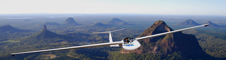
Caboolture Gliding Club |
| Soar like an eagle on silent wings in a friendly, cooperative club atmosphere from our base at Caboolture Airfield on Queensland's beautiful Sunshine Coast. New members and visitors are always welcome. |
| Home | Contact Us | Information | Gallery | Members | Airfield | Weather | Links | Other | |
|
|||||
|
|
|||||
|
- flying in the frontal lift - |
|||||
|
|
|||||
|
- west of the front - |
|||||
|
------------------- From: Bernard Gonsalves Date: Fri, Dec 10, 2010 at 9:01 PM Subject: Sea breeze front To: CGC list <cgclist@glidingcaboolture.org.au>
Well I went flying
today to take advantage of the weather. Today saw a sea breeze
front push in over Caboolture producing frontal lift on the
western side.
I took some photos
to show those of us that have not yet flown a sea breeze front.
The cool moist ocean air is drawn in by inland convection from
the coast and is forced up when it collides with the established
inland air mass. As it rises it condenses and forms cloud usually
ragged and substantially lower than the established inland
cloud base.
The inland air is also being forced up by the sea breeze
pushing in under it. This is where the nice lift is, on the inland
side of the lower frontal cloud.
I hope you can see
this in the photos. It is not usually a nice straight continuous
line but broken into slabs along a line up the coast. Today's front
was broken like this. At one stage I flew west from the front to
take a photo looking back from a distance so you could clearly see
the two different cloud bases.
I hope these photos
help you to recognise the next front.
Cheers,
Speedy
|
|||||


| |
 |
|
| Copyright © 2009 - Caboolture Gliding Club | joy flight in Twin Astir IKW | Site Design & Build: Gecko Breath |